|

|  How to Implement GNSS/GPS Positioning in Your Firmware

How to Implement GNSS/GPS Positioning in Your Firmware

November 19, 2024

Unlock GNSS/GPS in firmware with our step-by-step guide. Simplify navigation, improve accuracy, and enhance your device's capabilities effortlessly.

What is GNSS/GPS Positioning


Overview of GNSS/GPS Positioning


Global Navigation Satellite System (GNSS) refers to a constellation of satellites that provide signals from space transmitting positioning and timing data to GNSS receivers. The most well-known GNSS is the Global Positioning System (GPS), which was developed by the United States Department of Defense. Other global systems include GLONASS (Russia), Galileo (European Union), and BeiDou (China). These systems enable a GNSS receiver to determine its position, velocity, and time by processing the signals received from multiple satellites.


Key Components of GNSS/GPS


  • Satellites: Orbiting Earth and continuously transmitting signals containing data about the satellite's position and time.
  •  

  • Ground Control Stations: Monitor satellite signals to ensure they operate correctly, adjusting their orbits as necessary.
  •  

  • GNSS Receivers: Devices that receive the signals from satellites to calculate the user's position, speed, and time.


How GNSS/GPS Works


  • Signal Transmission: Satellites send signals containing precise orbital data and the time the message was transmitted.
  •  

  • Signal Reception: A GNSS receiver picks up these signals, noting the time it takes for each to arrive from different satellites.
  •  

  • Position Calculation: Using time delay data from at least four satellites, the receiver uses trilateration to calculate its exact position on Earth. The receiver can also determine the current time more precisely than is possible with classical time-keeping methods.


Applications of GNSS/GPS


  • Navigation: Used in automobiles, aircraft, and ships for route management and real-time navigation.
  •  

  • Geolocation Services: Integrated into smartphones and tablets for maps, tracking, and location-based applications.
  •  

  • Timing: Provides precise timing to telecommunication networks, power grid synchronization, and financial services.
  •  

  • Surveying and Mapping: Utilized in civil engineering, mining, and agricultural industries for precise location measurements.


Challenges and Limitations


  • Signal Obstruction: Tall buildings, dense foliage, and underground environments can block satellite signals, affecting accuracy.
  •  

  • Signal Multipath: Occurs when GPS signals reflect off surfaces before reaching the receiver, leading to inaccuracies.
  •  

  • Satellite Geometry: The relative position of satellites can affect the accuracy of positioning; poor geometry can lead to larger errors.
  •  

  • Atmospheric Effects: Atmospheric conditions, such as the ionosphere and troposphere, can impact signal speed and accuracy.


By understanding the capabilities and limitations of GNSS/GPS, industries and individual users alike can harness its potential for a wide variety of applications, ensuring precision and reliability in positioning tasks.

How to Implement GNSS/GPS Positioning in Your Firmware


Initialize GNSS/GPS Module


  • Ensure the GNSS/GPS hardware module is correctly connected to your microcontroller or system. Check pin layouts and communication interfaces (e.g., UART, I2C, SPI).
  •  

  • Configure the communication interface in your firmware. If using UART, initialize with specific baud rate, parity, data bits, and stop bits as required by the module.


#include <stdio.h>
#include "hardware_uart.h"

void init_uart() {
    uart_initialize(UART_ID, BAUD_RATE, DATA_BITS_8, PARITY_NONE, STOP_BITS_1);
    uart_set_transmit_enable(UART_ID, true);
    uart_set_receive_enable(UART_ID, true);
}


Set Up GNSS/GPS Communication


  • The GNSS/GPS module typically outputs and accepts data via NMEA protocol over the chosen interface. You need to constantly read this data, so implement a function to handle incoming NMEA sentences.
  •  

  • Parse the GNSS/GPS data to extract useful information like latitude, longitude, altitude, and time. Libraries might be available depending on your platform to simplify parsing.


#include "nmea_parser.h"

void process_gnss_data() {
    char buffer[BUF_SIZE];
    while (true) {
        uart_read(UART_ID, buffer, BUF_SIZE);
        if (is_valid_nmea_sentence(buffer)) {
            nmea_sentence_t sentence = parse_nmea_sentence(buffer);
            if (sentence.type == NMEA_TYPE_GGA) {
                printf("Latitude: %f, Longitude: %f, Altitude: %f\n",
                       sentence.latitude, sentence.longitude, sentence.altitude);
            }
        }
    }
}


Optimize GNSS/GPS Data Handling


  • Implement a lightweight queue or buffering mechanism to prevent data loss due to bursts or delays in processing.
  •  

  • Consider using interrupts for efficient processing if your hardware supports it.


#include "queue.h"

void uart_receive_interrupt_handler() {
    char data;
    uart_read(UART_ID, &data, 1);
    enqueue_data(data);
}

void gnss_task() {
    char buffer[BUF_SIZE];
    while (true) {
        if (dequeue_available()) {
            dequeue_data(buffer, BUF_SIZE);
            process_nmea_data(buffer);
        }
    }
}


Configure and Control GNSS/GPS Module


  • Use vendor-specific commands to configure the GNSS/GPS device if additional features are needed (e.g., selecting satellite systems, setting operational modes, etc.). This is often done by sending specific NMEA sentences or vendor protocols through the communication interface.
  •  

  • Adjust GNSS parameters like update rate or power modes for battery-saving purposes if applicable.


void configure_gnss_mode() {
    const char *mode_command = "$PMTK220,1000*1F\r\n";  // Example command to set update rate
    uart_write(UART_ID, mode_command, strlen(mode_command));
}


Debugging and Testing GNSS/GPS


  • Validate the GNSS/GPS data against known positions or using an external validation tool to ensure accuracy.
  •  

  • Regularly ascertain that the firmware processes data without delays and manages potential noise or incomplete sentences effectively.


void validate_gnss_data() {
    double known_lat = 37.7749; // Known latitude for test
    double known_lon = -122.4194; // Known longitude for test

    if ((fabs(sentence.latitude - known_lat) < 0.0001) &&
        (fabs(sentence.longitude - known_lon) < 0.0001)) {
        printf("GNSS performance is nominal.\n");
    } else {
        printf("Error in GNSS positioning accuracy.\n");
    }
}
 

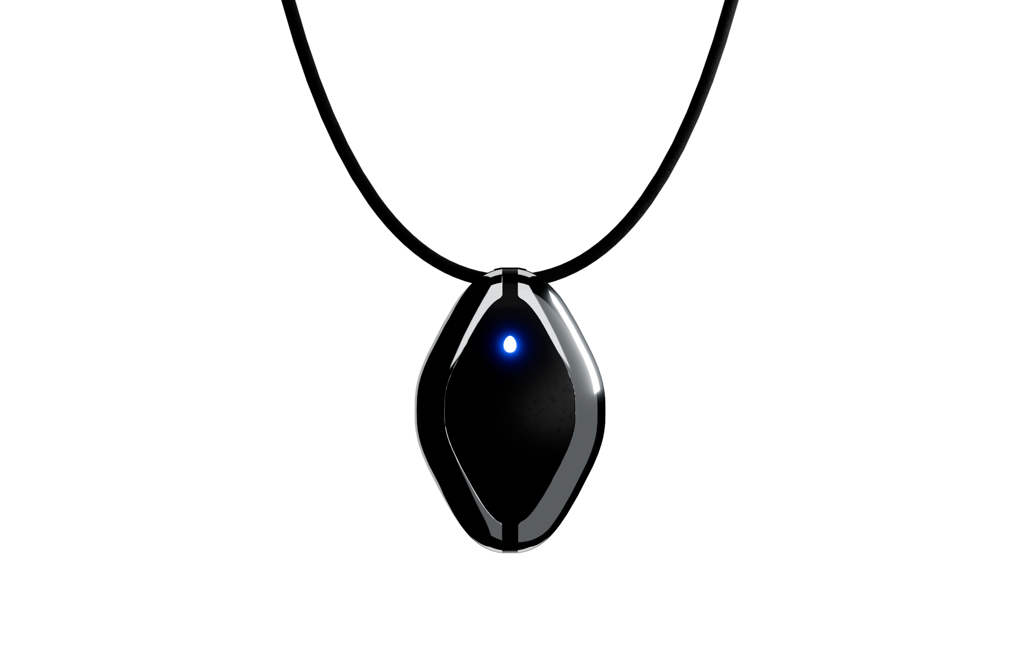
Omi Necklace

The #1 Open Source AI necklace: Experiment with how you capture and manage conversations.

Build and test with your own Omi Dev Kit 2.

Omi App

Fully Open-Source AI wearable app: build and use reminders, meeting summaries, task suggestions and more. All in one simple app.

Github →

Order Friend Dev Kit

Open-source AI wearable
Build using the power of recall

Order Now

Join the #1 open-source AI wearable community

Build faster and better with 3900+ community members on Omi Discord

Participate in hackathons to expand the Omi platform and win prizes

Participate in hackathons to expand the Omi platform and win prizes

Get cash bounties, free Omi devices and priority access by taking part in community activities

Join our Discord → 

OMI NECKLACE + OMI APP
First & only open-source AI wearable platform

a person looks into the phone with an app for AI Necklace, looking at notes Friend AI Wearable recorded a person looks into the phone with an app for AI Necklace, looking at notes Friend AI Wearable recorded
online meeting with AI Wearable, showcasing how it works and helps online meeting with AI Wearable, showcasing how it works and helps
App for Friend AI Necklace, showing notes and topics AI Necklace recorded App for Friend AI Necklace, showing notes and topics AI Necklace recorded

OMI NECKLACE: DEV KIT
Order your Omi Dev Kit 2 now and create your use cases

Omi 開発キット 2

無限のカスタマイズ

OMI 開発キット 2

$69.99

Omi AIネックレスで会話を音声化、文字起こし、要約。アクションリストやパーソナライズされたフィードバックを提供し、あなたの第二の脳となって考えや感情を語り合います。iOSとAndroidでご利用いただけます。

  • リアルタイムの会話の書き起こしと処理。
  • 行動項目、要約、思い出
  • Omi ペルソナと会話を活用できる何千ものコミュニティ アプリ

もっと詳しく知る

Omi Dev Kit 2: 新しいレベルのビルド

主な仕様

OMI 開発キット

OMI 開発キット 2

マイクロフォン

はい

はい

バッテリー

4日間(250mAH)

2日間(250mAH)

オンボードメモリ(携帯電話なしで動作)

いいえ

はい

スピーカー

いいえ

はい

プログラム可能なボタン

いいえ

はい

配送予定日

-

1週間

人々が言うこと

「記憶を助ける、

コミュニケーション

ビジネス/人生のパートナーと、

アイデアを捉え、解決する

聴覚チャレンジ」

ネイサン・サッズ

「このデバイスがあればいいのに

去年の夏

記録する

「会話」

クリスY.

「ADHDを治して

私を助けてくれた

整頓された。"

デビッド・ナイ

OMIネックレス:開発キット
脳を次のレベルへ

最新ニュース
フォローして最新情報をいち早く入手しましょう

最新ニュース
フォローして最新情報をいち早く入手しましょう

thought to action.

Based Hardware Inc.
81 Lafayette St, San Francisco, CA 94103
team@basedhardware.com / help@omi.me

Company

Careers

Invest

Privacy

Events

Manifesto

Compliance

Products

Omi

Wrist Band

Omi Apps

omi Dev Kit

omiGPT

Personas

Omi Glass

Resources

Apps

Bounties

Affiliate

Docs

GitHub

Help Center

Feedback

Enterprise

Ambassadors

Resellers

© 2025 Based Hardware. All rights reserved.